Please know, our panorama view/scroll script is disabled. Instead, most browsers will allow you to view the full-size image. For example, in Google Chrome do the following:
1. Click on image to view a semi-enlargement.
2. Right click on the semi-enlargement and “View in New Tab”
3. Left click on the image in the new tab for the massive zoom.
The view is from what’s informally known as Marble Peak, in west central Colorado. This is an incredibly crowded backcountry skiing area, in fact, I heard they’re planning on building a ski resort with three high speed quads in the works. Note all the ski and snowmobile tracks, not to mention six helicopters dropping folks off for heli-snowboarding. This view from GPS cords, NAD83 / WGS84, 39.03286, 107.18925. Any mistakes in our info, please let us know.

Panorama view from Marble Peak, Colorado.
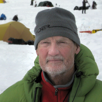
WildSnow.com publisher emeritus and founder Louis Dawson has a 50+ years career in climbing, backcountry skiing and ski mountaineering. He was the first person in history to ski down all 54 Colorado 14,000-foot peaks, has authored numerous books about about backcountry skiing, and has skied from the summit of Denali in Alaska, North America’s highest mountain. He published his memoir, Avalanche Dreams: A Memoir of Skiing, Climbing, and Life in 2024.