Aaron leads the way through the left side of the icefall. It all worked out…somehow.
Blue ice walled us in. Heading up through the seracs, it truly felt as though we were in the jaws of the glacier. Yesterday we found a way through the icefall leading to the southerly face of Mount Hunter, where our ski route hopefully is in condition.
At one point we felt we were so close to getting up and over this heinous icefall, but it seemed to have stopped us just short. Aaron said he thought he could make it up the smallest section of what was in front of us. He tied in and we watched as he struggled his way up and over. We followed suit and finally caught glimpse of Ramen Route. Snow all the way to the top of the ridge. It might work for ski mountaineering!
With the icefall route wanded, we retreated back to camp to rehydrate and start packing, as tomorrow we’ll set a camp below Mount Hunter Ramen Route and above the icefall. Heavier packs will most definitely make the trip there harder, but having a route wanded will make things move slightly faster.
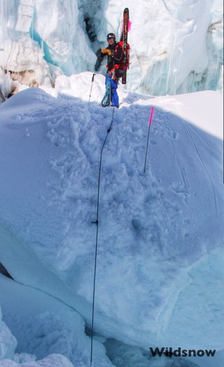
Anton with one of the bigger hops in front of him.
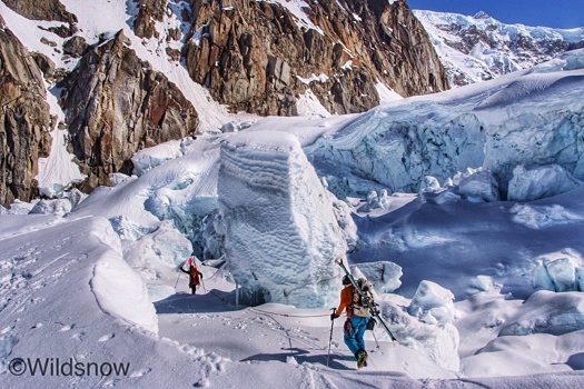
Aaron and Jordan move deeper into the blue.
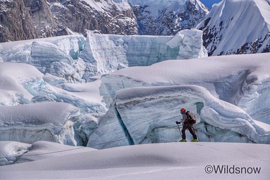
Evan trying not to think of all that ice hanging above his head.
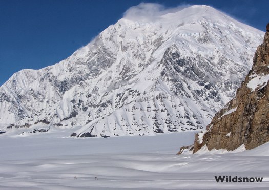
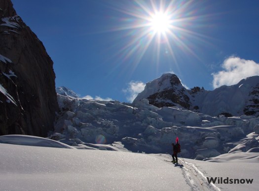
Anton and Evan are dwarfed at the base of Mount Foraker.
(Editor’s note: Location of camp below icefall marked on map below. Note Mount Hunter up and right NE of camp. Apologies for not embedding Google Map with terrain view, Google changed their mapping system and it’s a total mess. Try the Google Earth view by clicking the rectangle at lower left on embedded map. As for terrain view, you can get to it eventually, too many steps to detail here.)
WildSnow.com guest blogger Anton Sponar spends winters enjoying the Aspen area of Colorado, while summers are taken up with slave labor doing snowcat powder guiding at Ski Arpa in Chile. If Anton didn’t ski every month and nearly every week of the year, skiing would cease to exist as we know it.