Whistler Ski Touring Guide
We’re probably headed up to the northlands at least once this winter. So my attention gets skewed to what the Canucks might be offering in guidebooks.
Ink and paper still works for ski guides. Nevertheless, in my view it’s better to go 100% web based or at least blend web with print. Users can print pages off internet guidbooks (if the website is designed well), obviating the need for ink publication. But a book you can buy and throw on the dashboard of your car is nice as well. So why not blend both?
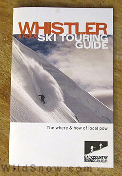
Backcountry Skiing Canada does a nice job publishing both ink and electrons. Their printed pamphlets cover small geographic areas, all complimented by their website. They keep it brief, which is good, since a few simple Google searches can yield massive information for just about any adventure you’d find in a ski touring guidebook.
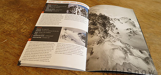
I’m looking at their Whistler guide at the moment. It’s got about 18 pages of routes, with another dozen or so pages taken by advertising and how-to. The ads are ok, they support the project (though you’ll still pay $16.95 Canadian), but the front material could probably be reduced to a page or two. The routes include one photo, a data block (time, elevation, etc.) and of course a slug of text. Maps are included, but at a scale and style that’s obviously more for trip planning than actual navigation. As an outsider I need good maps — but couldn’t find any suggestions on where or what to obtain. For example, you can get the John Baldwin map for touring around Whistler. Seems like that should have been mentioned as a resource.

View inside.
In any case, if you’re traveling to Canada for backcountry skiing and need beta, be sure to check out what Backcountry Skiing Canada has to offer.
WildSnow.com publisher emeritus and founder Lou (Louis Dawson) has a 50+ years career in climbing, backcountry skiing and ski mountaineering. He was the first person in history to ski down all 54 Colorado 14,000-foot peaks, has authored numerous books about about backcountry skiing, and has skied from the summit of Denali in Alaska, North America’s highest mountain.
