
Jonathan Cooper traverses towards the summit of Mt. Olympus during a beautiful sunrise.
For those of you who are familiar with the area, a ski descent of Mt. Olympus raises many questions. The main one being, “Why on earth would you choose to carry your skis for almost 18 miles before even setting foot on snow?!” A valid question, to say the least. Eric, Chris, and I set out to make the pilgrimage, and we asked ourselves this question many times over the next couple days.
The Olympic Range of Washington state is an alluring location, and Mt. Olympus being the tallest massif in the range has an undeniable attraction. With such a remote setting, a trip to this mountain provides the (ski) mountaineer with a journey through one of the most unique environments in the country. The route takes you through the Hoh Rain Forest, along the silvery Hoh River, on the western end of the Olympic Peninsula. For those of you reading from other parts of the country and already have your perceptions of the Pacific Northwest being notoriously rainy, this part of the state will send you scrambling for waders and an umbrella. The Hoh Rain Forest receives over 140 inches of rain annually, and despite Mt. Olympus’ modest elevation of 7,969 ft, it supports large glacier systems on its flanks. Sound intriguing?

When in the rainforest, sometimes it’s necessary to pull out the Northwest’s secret weapon: a poncho that makes you look like Little Red Riding Hood and the Hunchback of Notre Dame all at the same time.
The trail along the Hoh River is mostly flat for about 13 miles before you start to gain elevation. This part of the journey can be seen as a major pain in your low back, or can be one of the most awe-inspiring walks due to the flora that results from such drastic amounts of rainfall. Massive Cedars, Douglas Firs, Sitka Spruce, and Western Hemlock reaching diameters of up to 20 feet are found completely coated in moss and make you feel small and as if you are walking through an ancient forest. The juxtaposition of carrying your skis through such a place is an experience in itself.
Once the trail begins to climb, the ecosystem gradually changes, and you start to remember why you brought all of the extra weight in ski gear. At 17.5 miles you reach a high camp at Glacier Meadows, from here it is about 1.5 miles to the terminus of the Blue Glacier. I had 3 days for this trip, and our weather was trending towards sunshine by the last day. We decided to hike in 15 miles on the first day, and then have a mellow day (2.5 miles) up to Glacier Meadows before going for the top on the 3rd day. This turned out to be perfect for our weather window.

Skinning up above the Blue Glacier just before sunrise.

As we neared the top of the Snow Dome we were treated with an amazing sunrise over the Cascades. With the sun rising so far north, Mt. Baker is silhouetted almost perfectly.
On Friday, we left Glacier Meadows at about 3 am and hiked up to the lateral moraine of the Blue Glacier. At last we donned skins and skis, which was a welcome relief to the endless trail hoofing with heavy packs. With the lower glacier well filled in, we made great time crossing towards the base of Snow Dome. The route ascends from the Blue Glacier up to the Snow Dome, which is the bulk of your elevation gain. From here there are several ways to the summit block, known as West Peak, depending on the time of year. With several open bergschrunds, we decided to take the standard Crystal Pass route, which adds a bit of a detour to gain the summit ridge.

The route traverses across and through the low point in the left of the photo. From here you detour around to the summit pyramid, which is right of center.
Once at the base of the rock, we stashed skis and found our route up. The summit block has a number of routes to the top, a 5.4 route, and an exposed 4th class scramble. In essence of weight on the trail, we opted to forego rock protection and scramble the 4th class. This turned out to be plenty exciting in ski and snowboard boots with some exposure and airy moves.

The scramble on the summit pyramid heads from the center to the left ridge and up.
We topped out around 7am, and reveled in one of the most unique summits in the state. From the top you can look west to the lush and rugged coast of the Pacific Ocean, north to Vancouver Island, and east to the San Juan Islands and the Cascade Mountains. The stark contrast of glaciers and rock against a backdrop of dense rainforest is a special image that can’t be seen in many places in the world.

A great view of the Olympic Range, and a glimpse of the Salish Sea and Mt. Baker in the distance on the left side of the frame.

We were able to save weight by using a 35 meter glacier rope coupled with an equal length of 5mm tag line for the rappels off the top.
After a few summit shenanigans we made our way back down to our skis and snowboards for the long awaited turns we had worked so hard for. With warm temperatures throughout the night, the soft snow provided excellent turns back down our ascent route. We were able to ride all the way to the terminal moraine of the Blue Glacier, which saved us a bit of time on the descent.

Eric makes turns back towards Crystal Pass.

More turns down towards the lower Blue Glacier.

The skiing ended all too early, with 19 miles of trail back to the parking lot.
Once back to Glacier Meadows, I packed my things and said farewell to Chris and Eric, and hoofed all the way out to the trailhead. The other two had more time and planned to stay and ski in the area for a couple more days. The way out was long and grueling, but just as enchanting as it was on the way in two days prior.

A glimpse at the skiing that Mt. Olympus has to offer, if you’re willing to work for it.

Eric making the journey back towards the trailhead through the lush flora of the Hoh Rainforest.
All in all, the total distance is around 46 miles, and less than 10 of those on the glacier. So for all the multi-sport adventuring, I’ll let you decide if it’s worth schlepping the skis all that way for a few dozen turns on a glacier in the middle of a rain forest. We definitely thought it was.
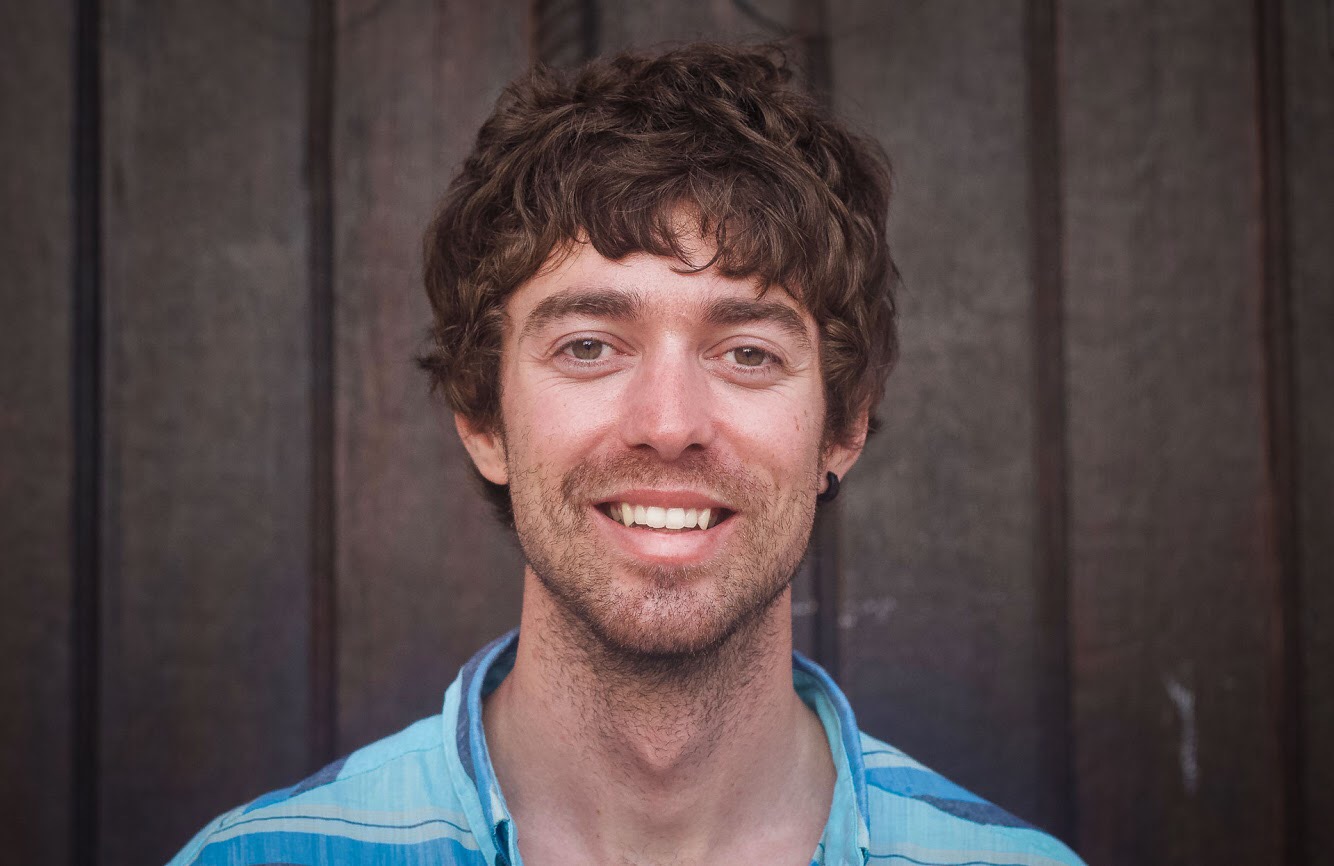
Jonathan Cooper (“Coop”) grew up in the Pacific Northwest and has been playing in the mountains since he was a teen. This was about the same time he made the fateful decision to strap a snowboard to his feet, which has led to a lifelong pursuit of powdery turns. Professionally speaking, he has been working as a ski guide, avalanche educator, and in emergency medicine for over a decade. During the winter months he can be found chasing snow, and passing on his passion for education and the backcountry through teaching avalanche courses for numerous providers in southwest Colorado, and the Pacific Northwest. Similarly, his passion for wilderness medicine has led him to teach for Desert Mountain Medicine all over the West. If you’re interested, you can find a course through Mountain Trip and Mountain West Rescue. In the end, all of this experience has merely been training for his contributions to the almighty WildSnow.com.